
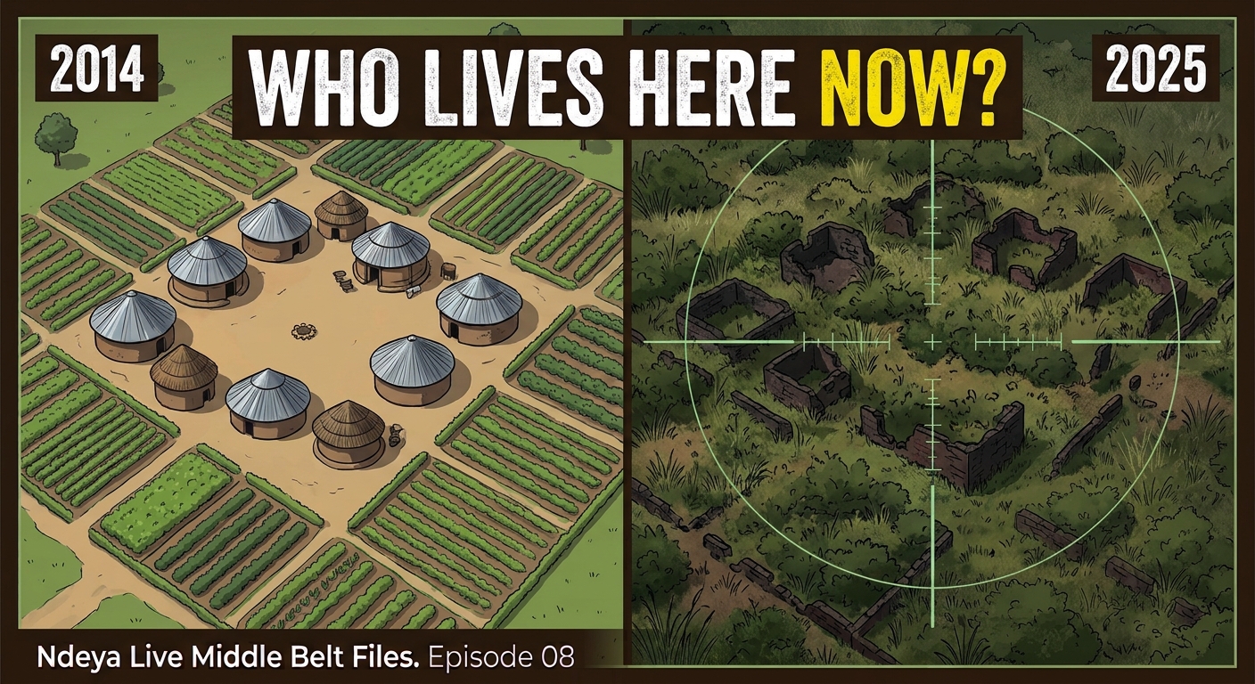
Lydia Ingev was 49 when she fled Tse Tokula, a farming village in Guma, Benue State, one night in 2014. She had already lost her husband and three sons to the killings. She took 12 dependents to a displacement camp in Daudu. She is 60 now, and she has never been back.
Across the Middle Belt, thousands of villages like hers stand empty. Some, we are told, have been occupied. Some, we are told, have been renamed. Which of these is true matters enormously, and the Nigerian state has made almost no effort to find out.
Start with what can be seen. A satellite analysis of more than 15 deserted communities in Guma and Gwer West compared images across several years. The pattern was the same everywhere: roofs gone, footpaths blurred, farms reclaimed by bush. In one community, analysts saw occasional movement, probably herders or travellers passing through. They found no new roofs, compounds or farms. In Benue, the evidence points to villages that have been emptied, not resettled. They are held by whoever makes return deadly. The coordinator of one Daudu camp says it is dangerous to go more than seven kilometres from it.
Plateau and Southern Kaduna present a harder claim: that villages were cleared, then occupied and renamed. A list published in 2018 counted more than 54 Plateau communities. By 2024, youth associations of five ethnic groups put the figure at 151. In 2025, Governor Caleb Mutfwang said at least 64. University of Jos researchers were told of more than 50 occupied villages in Riyom alone. On the other side, the Miyetti Allah Cattle Breeders Association rejects the land-grab narrative, and its officials point to Fulani displacement in Mangu.
Every one of these numbers should face three questions. Who counted? What was counted: villages attacked, emptied, or occupied? And did anyone go to look? The answer to the last question is uncomfortable. Neither the federal government nor any independent body has visited to confirm who now lives on this land.
The stakes are higher than they look. More than 90 per cent of Nigeria’s land is unregistered. In the rural Middle Belt, a family’s proof of ownership lies in the village name, the graves and the memory of elders. A new name on an old village can erase the only record it has.
Yet verification is within reach. INEC’s polling-unit directories list villages by name and mark relocated units with their old names. The 2006 census maps and older survey maps exist. If a village name from before 2001 now sits beneath a new one, the renaming is on record. If both names are old, the claim weakens. That check has not been done in public.
Plateau has also commissioned a resettlement task force report, a land administration committee report and a census of occupied areas. None has been published. All three should be.
Ethnicity is not evidence. Every claim, from every community, deserves the same test. Until the state establishes who is on the land, possession will quietly become ownership, and every year will make the road home longer.
Rimamnde Shawulu is the host of Ndeya Live, which provides analysis of Nigerian politics, security and governance, and the author of The Middle Belt.
📺 Watch the full investigation, with the satellite evidence, the claims and the counter-claims:
📘 Click Here to Read The Middle Belt on Amazon:
📊 More analysis and source materials: